From one bank of the Durance to the other
Embrun
From one bank of the Durance to the other
2h
29,9km
+912m
-912m
Loop
Embed this item to access it offline
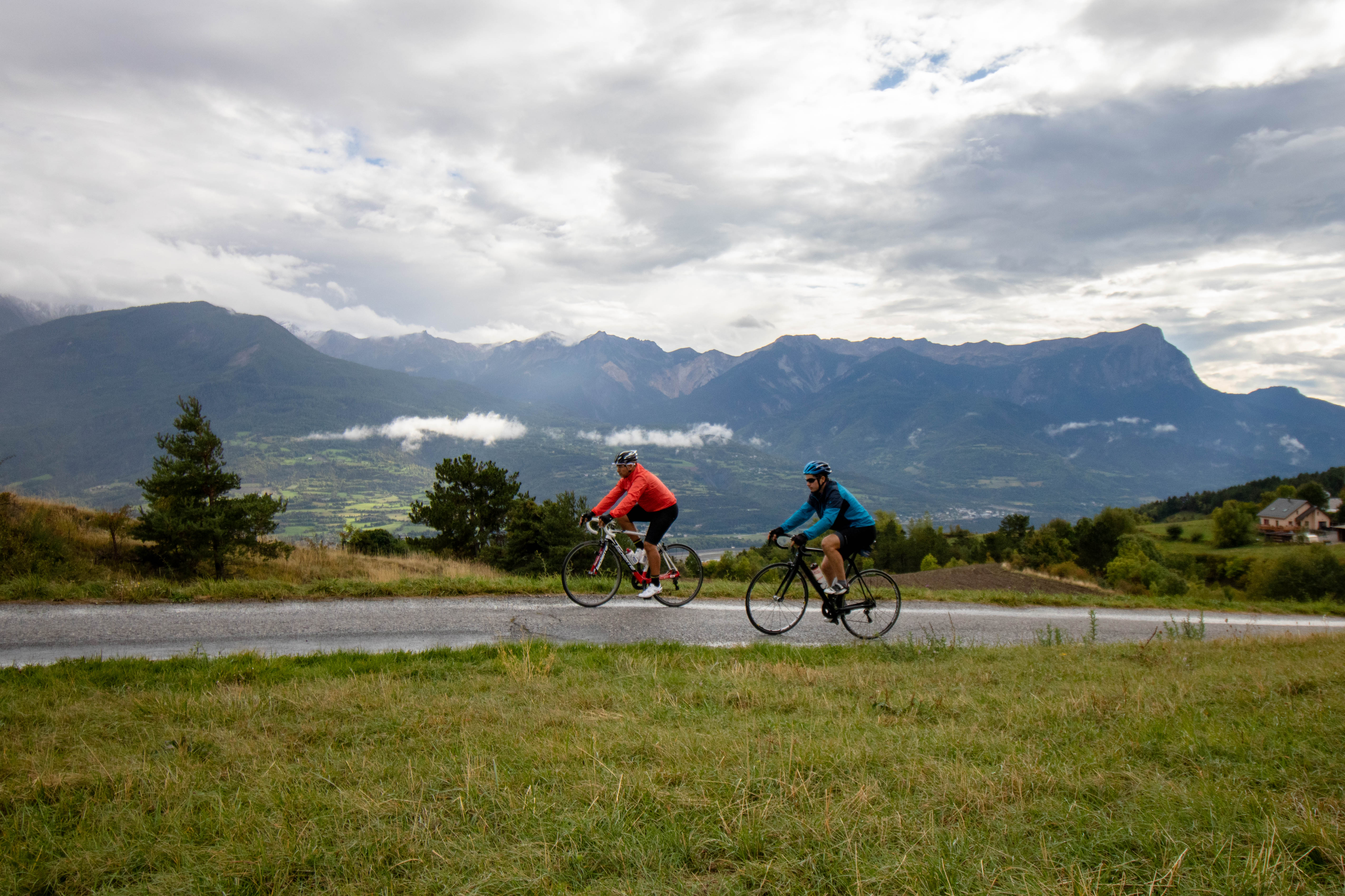
You'll never be bored on this route! Views, some lovely roads and local heritage are all on the menu as you pass through the villages and hamlets neighbouring the Durance. On each stage, you'll be charmed by these typical places tucked away in the Durance valley.
Description
- From Embrun station, head down towards the town centre and, at the roundabout, go left towards Briançon. Continue straight on, passing the fire station and reaching a bend just before a large roundabout (shortly after passing under a railway bridge).
- Now head towards Châteauroux-les-Alpes along the D994h. Then cross this municipality and continue straight on until you reach the N94.
- Drive onto this lane, which can be fairly busy at times and, with caution, ride correctly on the right. After 4 km, enter Saint-Clément-sur-Durance. Cross the village and, after crossing the bridge over the Durance, turn right towards Saint-André d'Embrun.
- This is followed by some gentle ascents and descents along the banks of the Durance, taking in the beautiful views. You will also pass through several hamlets before reaching the foot of Saint-André d'Embrun.
- Continue straight on, staying on the D994d, towards Embrun. Continue for 4 km and, at the STOP sign, turn right and cross the Durance on a metal bridge (wooden floor) towards the citadel of Embrun.
- Finally, take the last ascent back to the starting point.
- Departure : Embrun station car park
- Arrival : Embrun station car park
- Towns crossed : Embrun, Châteauroux-les-Alpes, Saint-Clément-sur-Durance, Saint-André-d'Embrun, and Saint-Sauveur
Forecast
Altimetric profile
Sensitive areas
Along your trek, you will go through sensitive areas related to the presence of a specific species or environment. In these areas, an appropriate behaviour allows to contribute to their preservation. For detailed information, specific forms are accessible for each area.
Peregrine falcon
- Impacted practices:
- Aerial, Vertical
- Sensitivity periods:
- FebMarAprMayJun
- Contact:
- Parc National des Écrins
Julien Charron
julien.charron@ecrins-parcnational.fr
Short-toed snake eagle
- Impacted practices:
- Aerial,
- Sensitivity periods:
- MarAprMayJunJulAugSep
- Contact:
- Parc National des Écrins
Julien Charron
julien.charron@ecrins-parcnational.fr
Recommandations
- Respecter le sens de circulation des parcours.
- Respecter les autres usagers de la route.
- Le port du casque est obligatoire
- N’hésitez pas à consulter info route 05 avant de partir
Transport
From Gap:
- Zou! network : Line 69 / Frequency : 5 times a day
- Zou! network : Line 69 / Frequency : Every 4 hours
- SNCF bus
Access and parking
Follow the N94 from Gap or Briançon towards Embrun, then the town centre and station.
Parking :
Station car park, Embrun
Source

Serre-Ponçonhttps://www.serreponcon.com
Report a problem or an error
If you have found an error on this page or if you have noticed any problems during your hike, please report them to us here: