
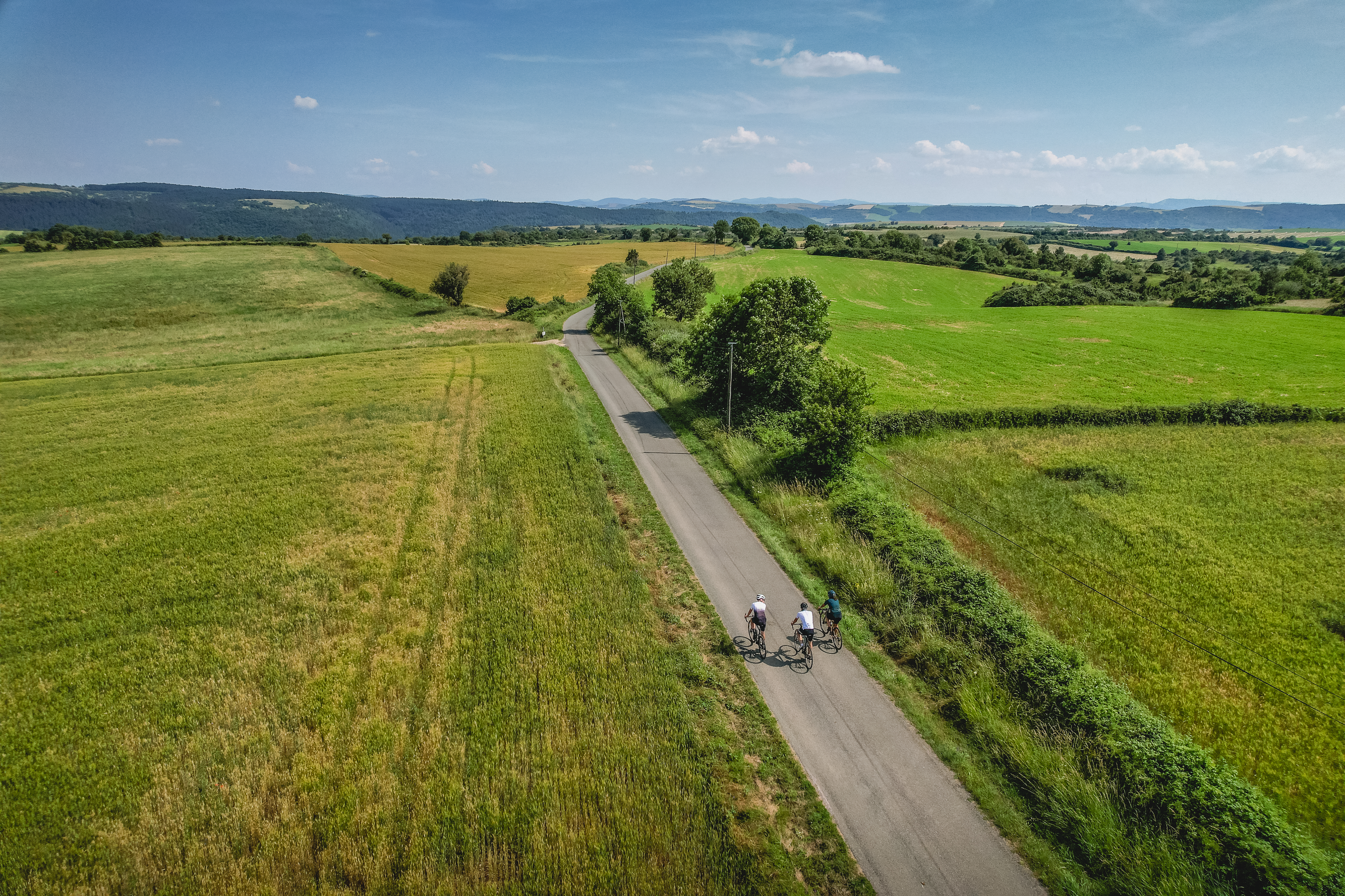
An Epic Journey in Pays du Roquefort
From the Templar Larzac to the Rance Valley, from the Raspes du Tarn to the Lacaune Mountains, via the iconic Combalou Rock in Roquefort, the production area of the king of cheeses will hold few secrets for you after these four cycling stages. Organise your journey (stages and accommodation) according to our recommendations, or simply follow the inspiring landscapes that await you!
Description
A cycling journey through the heart of Pays du Roquefort, to be tailored as you wish !
4 recommended stages with accommodation bearing the "Bonnes adresses FFVélo" quality label :
Stage 1 : Saint-Affrique – Plaisance : 82km – 1558+ :
Possible detours along the route :
- Montaigut castle
- Hilltop village of Combret
- Notre-Dame d’Orient Monastery
Stage 2 : Plaisance – Saint-Rome de Tarn : 75km 1322+ :
Possible detours along the route :
- Coupiac castle
- Montclar viewpoint
- Saint-Izaire castle
- Brousse castle
- Hilltop village of Ayssènes (accommodation and dining)
Stage 3 : Saint-Rome de Tarn – Roquefort : 121km 1950+ :
Possible detours along the route :
- Hilltop village of La Bastide-Pradines
- Gaillac domain (restaurant, accommodation and museum)
- La Couvertoirade
- Croix de Gréponac viewpoint (300 m of accessible track, round trip)
Stage 4 : Roquefort – Saint-Affrique : 87.5km 1300+ :
Possible detours along the route:
- Fort of Saint-Jean-d’Alcas
- Saint-Beaulize – Mas Andral farm (La Caussenarde Brewery)
- Saint-Xist Chapel (Romanesque chapel and botanical garden) between Fondamente and Le Clapier
- Departure : Mountain Bike Station, Rue du 12 Étoiles, Saint-Affrique
- Arrival : Mountain Bike Station, Rue du 12 Étoiles, Saint-Affrique
- Towns crossed : Saint-Affrique, Vabres-l'Abbaye, Gissac, Montlaur, Camarès, Mounes-Prohencoux, Belmont-sur-Rance, Combret, Laval-Roquecezière, Pousthomy, Saint-Sernin-sur-Rance, Coupiac, Balaguier-sur-Rance, Plaisance, Montclar, Saint-Izaire, Broquiès, Brousse-le-Château, Villefranche-de-Panat, Le Truel, Saint-Victor-et-Melvieu, Viala-du-Tarn, Saint-Rome-de-Tarn, Saint-Rome-de-Cernon, La Bastide-Pradines, Lapanouse-de-Cernon, Sainte-Eulalie-de-Cernon, La Cavalerie, Nant, Saint-Jean-du-Bruel, Sauclières, La Couvertoirade, Les Rives, Cornus, Viala-du-Pas-de-Jaux, Tournemire, Roquefort-sur-Soulzon, Saint-Jean-et-Saint-Paul, Saint-Beaulize, Fondamente, Le Clapier, Roqueredonde, Ceilhes-et-Rocozels, Montagnol, Fayet, Sylvanès, and Versols-et-Lapeyre
Forecast
Altimetric profile
Recommandations
Part of the route includes a series of 3 short tunnels. For greater safety, make sure you have suitable lighting.
Bring a supply of water and suitable clothing.
Transport
All the information is available on the Tourist Office website.
Access and parking
Saint-Affrique is situated 31 km southwest of Millau via the D992 and D999 roads.
Parking :

Report a problem or an error
If you have found an error on this page or if you have noticed any problems during your hike, please report them to us here: