Narreyroux circuit (no. 13)
Puy-Saint-Vincent
Narreyroux circuit (no. 13)
2h30
16km
+799m
-794m
Loop
Embed this item to access it offline
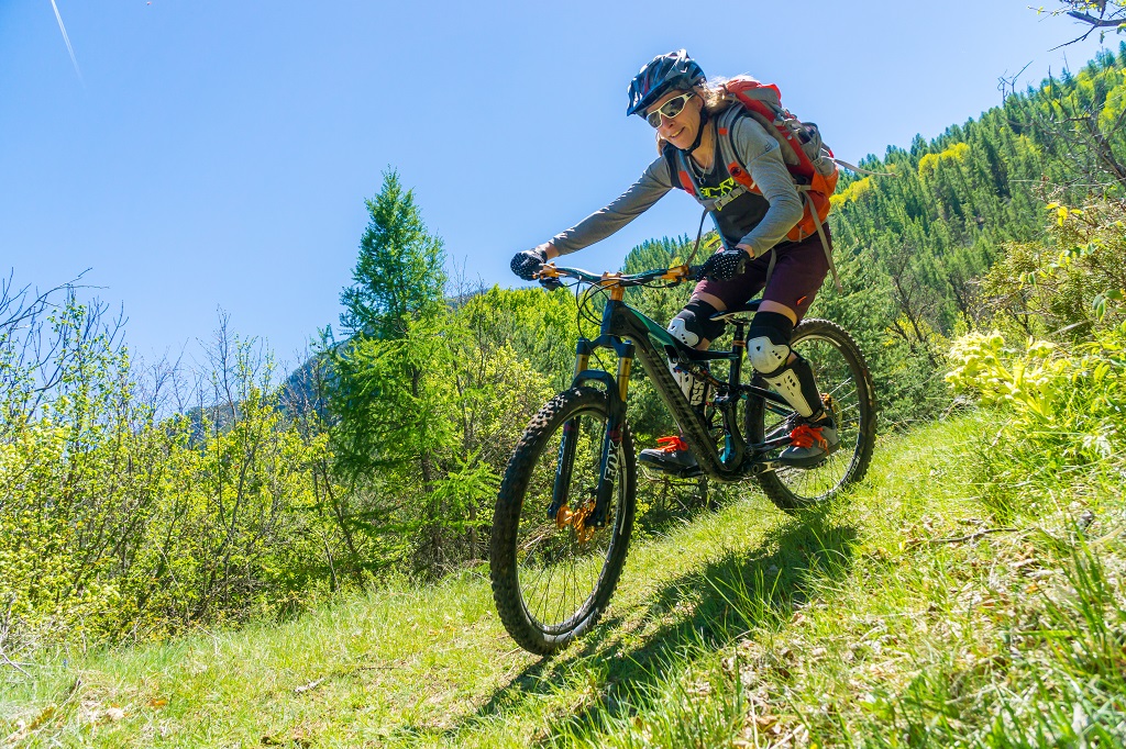
This intermediate circuit running through the municipality of Puy Saint-Vincent and its hamlets, takes you amidstnature and to remarkable locations such as the valley of Narreyroux. At the highest point of the circuit, you will also have the opportunity to admire the valley of Vallouise and several amazing peaks like Mont Pelvoux.
Description
The Narreyroux circuit starts at Les Prés at the 1400 resort roundabout, heading towards Le Villaret
- At Le Villaret, take the track on the right towards Les Vigneaux via Combe Noire
- At the end of the track, bear slightly right to start the climb up towards the plateau of La Pousterle via Via Novo
- At the end of the track, join the road, still heading towards the Plateau de la Pousterle
- At Le Prey d'Amont, turn right to leave the road and join a track
- At the intersection of the tracks, turn left and then right 200 metres further on, heading towards the 1800 resort
- At the 1800 resort, take the road downhill and, at the centre of the fifth hairpin, take a track that leads to Narreyroux
- Go right to cross the bridge spanning the mountain stream and return to Narreyroux
- At La Chapelle Notre Dame, turn right onto a path heading towards Le Puy (Caution: proceed slowly along this technical section)
- At the end of the path at the Torrent de la Combe de Narreyroux mountain stream, cross the bridge to rejoin the road on the right. 500 metres further on, at the first hairpin, take a path running along the canal side
- Cross the local road and then rejoin the canal path
- At the end of the path, turn left towards the Croque Loisirs campsite. Go through the campsite and this brings you back to Les Prés and your starting point
- Departure : From Les Prés near the roundabout to station 1400, Puy Saint Vincent
- Arrival : From Les Prés near the roundabout to station 1400, Puy Saint Vincent
- Towns crossed : Puy-Saint-Vincent and Les Vigneaux
Forecast
Altimetric profile
Sensitive areas
Along your trek, you will go through sensitive areas related to the presence of a specific species or environment. In these areas, an appropriate behaviour allows to contribute to their preservation. For detailed information, specific forms are accessible for each area.
Black grouse - winter
- Impacted practices:
- , Land
- Sensitivity periods:
- JanFebMarAprDec
- Contact:
- Parc National des Ecrins
Thierry Maillet : thierry.maillet@ecrins-parcnational.fr
Membre de l'Observatoire des Galliformes de montagne
Virginie Dos Santos : ogm.vds@gmail.com
Blandine Amblard : ogm.amblard@gmail.com
Short-toed snake eagle
- Impacted practices:
- Aerial,
- Sensitivity periods:
- MarAprMayJunJulAugSep
- Contact:
- Parc National des Écrins
Julien Charron
julien.charron@ecrins-parcnational.fr
Peregrine falcon
- Impacted practices:
- Aerial, Vertical
- Sensitivity periods:
- FebMarAprMayJun
- Contact:
- Parc National des Écrins
Julien Charron
julien.charron@ecrins-parcnational.fr
Recommandations
Rescue services contact details: Secours Montagne(Mountain Rescue): +33 (0)4 92 22 22 22 or 112
Show consideration for the work of farmers, livestock keepers and owners
Close all gates behind you
Take your litter home
Do not take shortcuts across pasturelandTransport
Public transport >> www.pacamobilite.fr
Consider car-sharing >> www.blablacar.fr
For more information, ask at the Tourist Information Office nearest to the trail starting point >> www.paysdesecrins.com
Access and parking
8.5 km from L'Argentière-la-Bessée, take the D994E and then the D4.
Parking :
Car park at Les Prés near the resort 1400 roundabout, Puy Saint Vincent
Source

Pays des Ecrinshttps://www.paysdesecrins.com
Report a problem or an error
If you have found an error on this page or if you have noticed any problems during your hike, please report them to us here: