The Onde circuit (no. 5)
Vallouise-Pelvoux
The Onde circuit (no. 5)
1h30
8,3km
+303m
-303m
Loop
Embed this item to access it offline
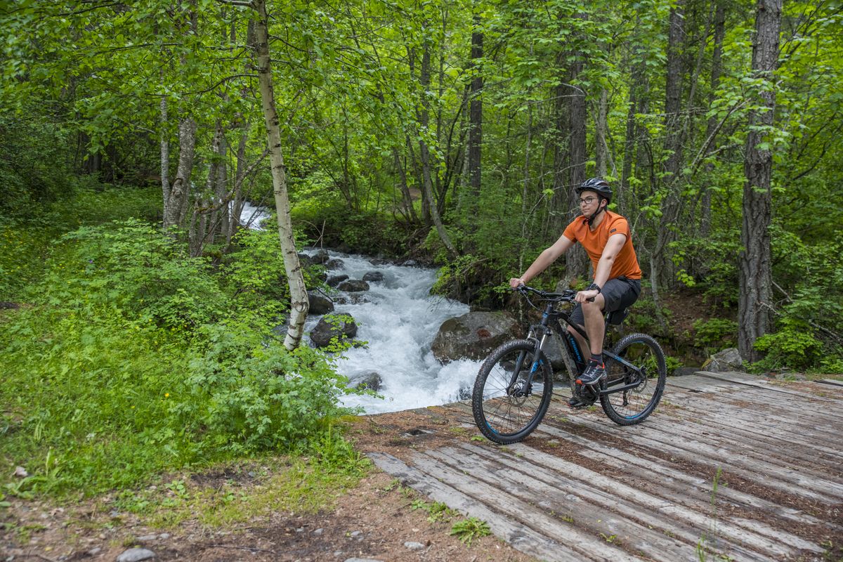
This circuit takes you along both banks of the Onde for almost its entire distance. So you will be accompanied by the sound of the blue-tinged waters rippling over the stones and can admire this mountain stream which is fed from numerous of the peaks overlooking the valley.
Description
Setting out from the Gérendoine bridge on the left-hand bank of the Onde, follow the track leading upstream.
- Turn left to cross the Pont de Fontaines, and then right to take another track running along the Onde, but this time on the right-hand bank
- Go right at the intersection at the Pont des Places at the entrance to the campsite, crossing the Onde and turning right again to join a paved road on the left-hand bank of the Onde
- 250 metres after the bridge, turn right to leave the paved road and join a stony path
- Turn right to cross the Pont de Fontaines again and then left towards the Cascade de la Pissette, on the right-hand bank of the Onde heading downstream
- Bear left crossing the (unnamed) bridge to join the original track, heading towards Vallouise until you come to the Gérendoine bridge
- Cross the bridge and then turn left onto a track running along the right-hand bank of the Onde
- Leave the track and the Onde, turning right onto a new path. 200 metres further on, after crossing the local road, being very careful of the traffic
- Before the house, turn right uphill to start the small tour
- After the descent, take the track on the left to return to the path previously taken and your starting point
- Departure : Pont de Gérendoine (left-hand bank of the Onde), Vallouise
- Arrival : Pont de Gérendoine (left-hand bank of the Onde), Vallouise
- Towns crossed : Vallouise-Pelvoux
Forecast
Altimetric profile
Recommandations
Rescue services contact details: Secours Montagne(Mountain Rescue): +33 (0)4 92 22 22 22 or 112
Take your litter home
Do not take shortcuts across pasturelandTransport
Public transport >> www.pacamobilite.fr
Consider car-sharing >> www.blablacar.fr
For more information, ask at the Tourist Information Office nearest to the trail starting point >> www.paysdesecrins.com
Access and parking
10 km from L'Argentière-la-Bessée, take the D994E.
Parking :
Car park near the Pont de Gérendoine (right-hand bank of the Onde), Vallouise
Source

Pays des Ecrinshttps://www.paysdesecrins.com
Report a problem or an error
If you have found an error on this page or if you have noticed any problems during your hike, please report them to us here: