Loop 58 - Tour of Crévoux
Crévoux
Loop 58 - Tour of Crévoux
2h30
28,2km
+1424m
-1425m
Loop
Embed this item to access it offline
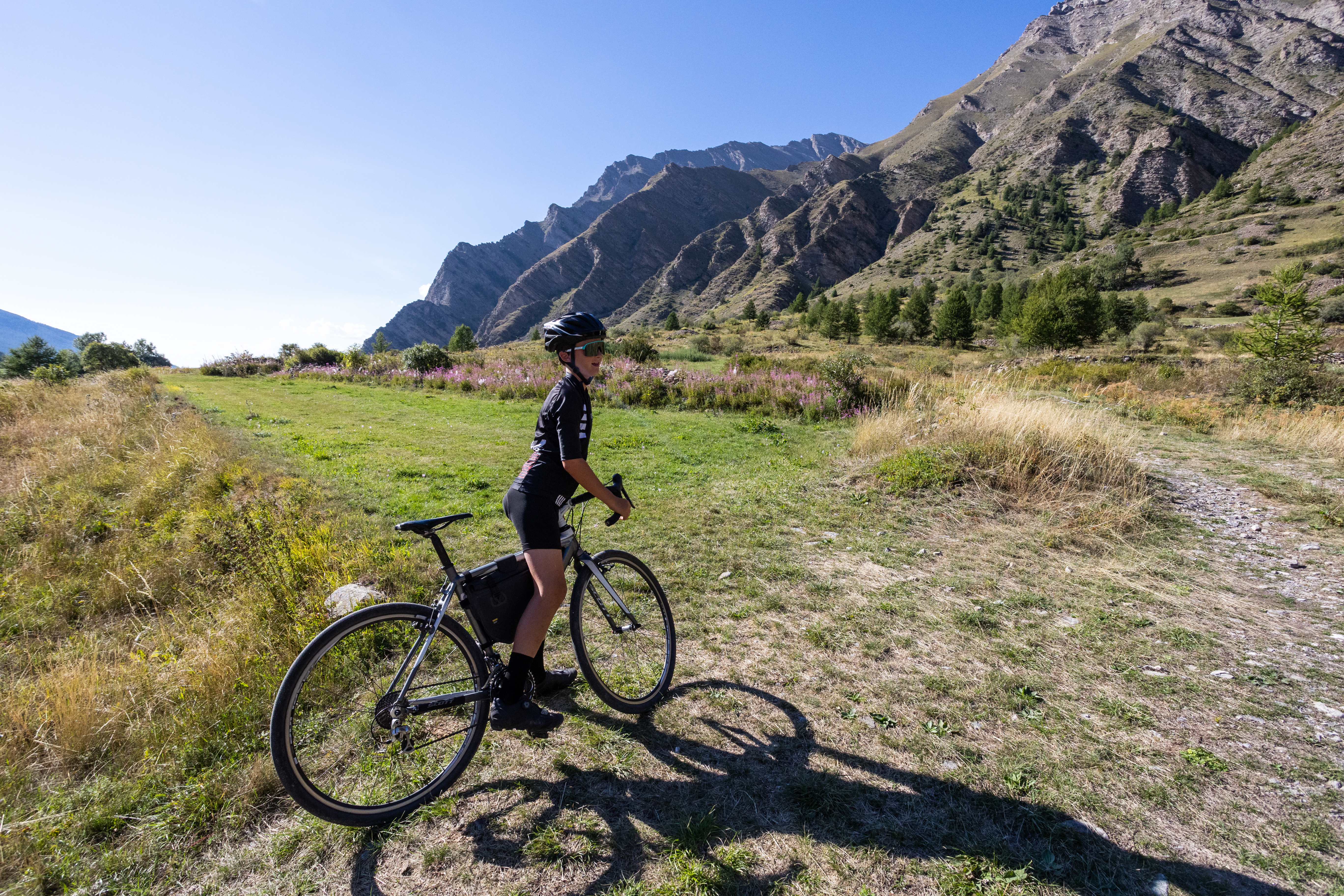
An extension of the Méale route, the Crévoux loop continues under the larches on the side of the Crévoux valley. It passes through a series of viewpoints and a string of hamlets before returning to the village-resort.
Description
- From the village square, take the street leading from the war memorial. At "Champ La font 2", climb the gravel track towards the hamlet of La Chalp. Continue straight ahead on the main road. At Travers du Moulin go straight up the track.
- At the bend continue straight ahead (stony ascent). At the bend in the road (D39T), turn right.
- At the picnic area, take two right turns. Stay on the main hairpin path.
- Take the descent, and turn right at the bend of a track. At the crossroads, continue straight ahead (quick return possible on the right along the blue route 57)
- At the crossroads of the DFCI track H24, descend to the right. At Faravelle continue straight downhill then turn right. At the junction (at the end of the flat track), turn right and stay on the main track.
- At Les Gaillards, turn right down the road towards Saint-Sauveur. At the church of Saint-Sauveur, turn right onto the road.
- Turn right through the hamlet of "Coin haut" and then "Vabres", staying on the main road. At the bend in the D39, turn right towards Crévoux.
- At the D139, climb the road to the right towards the resort of Crévoux. Return to the car park.
- Departure : Crévoux
- Arrival : Crévoux
- Towns crossed : Crévoux and Saint-Sauveur
Forecast
Altimetric profile
Recommandations
Avant de partir vérifiez l’état de votre vélo, surveillez la météo et équipez vous selon la saison et la durée de votre randonnée.
Vous évoluez en zone de montagne, privilégiez des pneus de Gravel large, des freins à disque hydraulique et maitrisez votre vitesse.
Prudence dans la descente du Hameau de Vière et pour rejoindre la vallée de la Durance.
Pour plus de confort faites appel à un moniteur de cyclisme
Secours : 112
Vous évoluez en zone de montagne, privilégiez des pneus de Gravel large, des freins à disque hydraulique et maitrisez votre vitesse.
Prudence dans la descente du Hameau de Vière et pour rejoindre la vallée de la Durance.
Pour plus de confort faites appel à un moniteur de cyclisme
Secours : 112
Transport
SNCF: Chorges station, Embrun https://www.sncf-connect.com/
Bus : Valserres, La Bâtie Neuve, Chorges, Puy Saint Eusèbe, Puy Sanières, Embrun Baratier, Les Orres, Remollon, Theus, Espinasse
Marseille-Briançon : (LER29)
Marseille, Nice : Lignes Express Régionales (LER) +33 (0)809 400 415
Grenoble : Transisère +33 (0)4 26 16 38 38
Gap-Barcelonnette (LER535)
Carpooling area : Rond point des Orres - 05200 Baratier
Plane:
Marseille Provence Airport (188km) - +33 (0)820 811 414
Grenoble Alpes Isère Airport (158km) - +33 (0)4 76 65 48 48
Lyon Saint Exupéry Airport - (203km) +33 (0)826 800 826
Turin Caselle Airport - (178km) + 39 011 567 63 77
Access and parking
From Grenoble, Lyon, Paris : RN 85 or RN 75. At Gap on the RN 94 towards Briançon.
Parking :
Place du village, Crévoux
Source

Serre-Ponçonhttps://www.serreponcon.com
Report a problem or an error
If you have found an error on this page or if you have noticed any problems during your hike, please report them to us here: