Loop 50 - Les Puy
Puy-Saint-Eusèbe
Loop 50 - Les Puy
2h
24,1km
+1116m
-1115m
Loop
Embed this item to access it offline
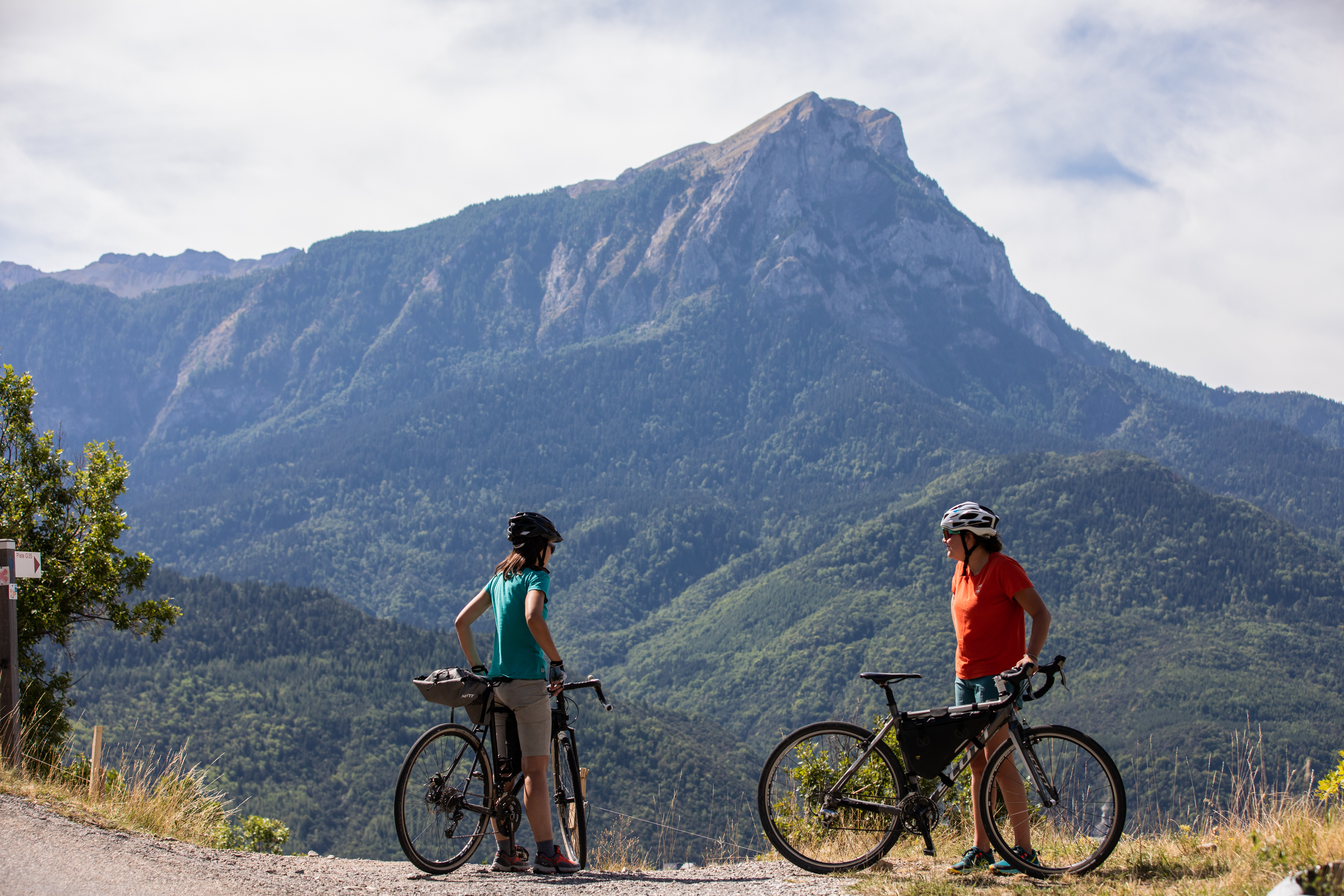
This pretty Gravel loop on the southern flank of Mont Guillaume passes through a string of hamlets that make up the villages of Puy-St-Eusèbe and Puy-Sanières. The second part of the route climbs into the forest. The picnic stop at Belvédère de la Para is ideal.
Description
- At the hamlet of Les Pins, ascend the Courtez path to the left. Choose the uphill options on the left to reach the route de Loupas.
- At the route de Loupas, descend to the right and /!\ slow down before the entrance to Pibou Bas to ascend to the left. At the road, turn left to reach 'Les Bouteils'. After the entrance sign to the village, take the second turning on the right (Chemin du Mounet). Stay on this road until you reach the fountain.
- At the fountain, turn right (D9) and climb left towards Serre (D309). At Serre (fountain), continue up the winding road to the left
- At the 2nd bend to the right, take the DFCI G2 track (viewpoint) and climb to the right up the Pinee forest road (DFCI G2). Stay on DFCI G2: at the cistern, continue to the right on the Bois Vezin forest road and join DFCI G1.
- At the cistern, turn left towards the Para lookout and Puy Sanières. (DFCI G1) Leave the Pinée forest track. Ascend the track to the right (DFCI G1). Stay on the main track until you reach the G5 underground cistern.
- At the G5 underground cistern, descend n to the left and stay on the main track.
- In the bend, ascend the road to the right. At the church of Puy Ste Eusèbe, turn left twice, and after 300m join a stony track /!\ At the road (D9), turn right twice to reach Le Villard.
- Departure : Le Villard, Puy St Eusèbe
- Arrival : Le Villard, Puy St Eusèbe
- Towns crossed : Puy-Saint-Eusèbe, Puy-Sanières, and Embrun
Forecast
Altimetric profile
Sensitive areas
Along your trek, you will go through sensitive areas related to the presence of a specific species or environment. In these areas, an appropriate behaviour allows to contribute to their preservation. For detailed information, specific forms are accessible for each area.
Short-toed snake eagle
- Impacted practices:
- Aerial,
- Sensitivity periods:
- MarAprMayJunJulAugSep
- Contact:
- Parc National des Écrins
Julien Charron
julien.charron@ecrins-parcnational.fr
Recommandations
Avant de partir vérifiez l’état de votre vélo, surveillez la météo et équipez vous selon la saison et la durée de votre randonnée.
Vous évoluez en zone de montagne, privilégiez des pneus de Gravel large, des freins à disque hydraulique et maitrisez votre vitesse.
Prudence dans la descente du Hameau de Vière et pour rejoindre la vallée de la Durance.
Pour plus de confort faites appel à un moniteur de cyclisme
Secours : 112
Vous évoluez en zone de montagne, privilégiez des pneus de Gravel large, des freins à disque hydraulique et maitrisez votre vitesse.
Prudence dans la descente du Hameau de Vière et pour rejoindre la vallée de la Durance.
Pour plus de confort faites appel à un moniteur de cyclisme
Secours : 112
Transport
SNCF: Chorges station, Embrun https://www.sncf-connect.com/
Bus : Valserres, La Bâtie Neuve, Chorges, Puy Saint Eusèbe, Puy Sanières, Embrun Baratier, Les Orres, Remollon, Theus, Espinasse
Marseille-Briançon : (LER29)
Marseille, Nice : Lignes Express Régionales (LER) +33 (0)809 400 415
Grenoble : Transisère +33 (0)4 26 16 38 38
Gap-Barcelonnette (LER535)
Carpooling area : Rond point des Orres - 05200 Baratier
Plane:
Marseille Provence Airport (188km) - +33 (0)820 811 414
Grenoble Alpes Isère Airport (158km) - +33 (0)4 76 65 48 48
Lyon Saint Exupéry Airport - (203km) +33 (0)826 800 826
Turin Caselle Airport - (178km) + 39 011 567 63 69
Access and parking
From Grenoble, Lyon, Paris : RN 85 or RN 75. At Gap, take the RN 94 towards Briançon.
From Marseille, Montpellier A51 to La Saulce, continue towards Tallard (D942) and Briançon (RN 94).
From Marseille, Montpellier A51 to La Saulce, continue towards Tallard (D942) and Briançon (RN 94).
Parking :
Le Villard near the town hall, Puy Saint Eusèbe
Source

Serre-Ponçonhttps://www.serreponcon.com
Report a problem or an error
If you have found an error on this page or if you have noticed any problems during your hike, please report them to us here: