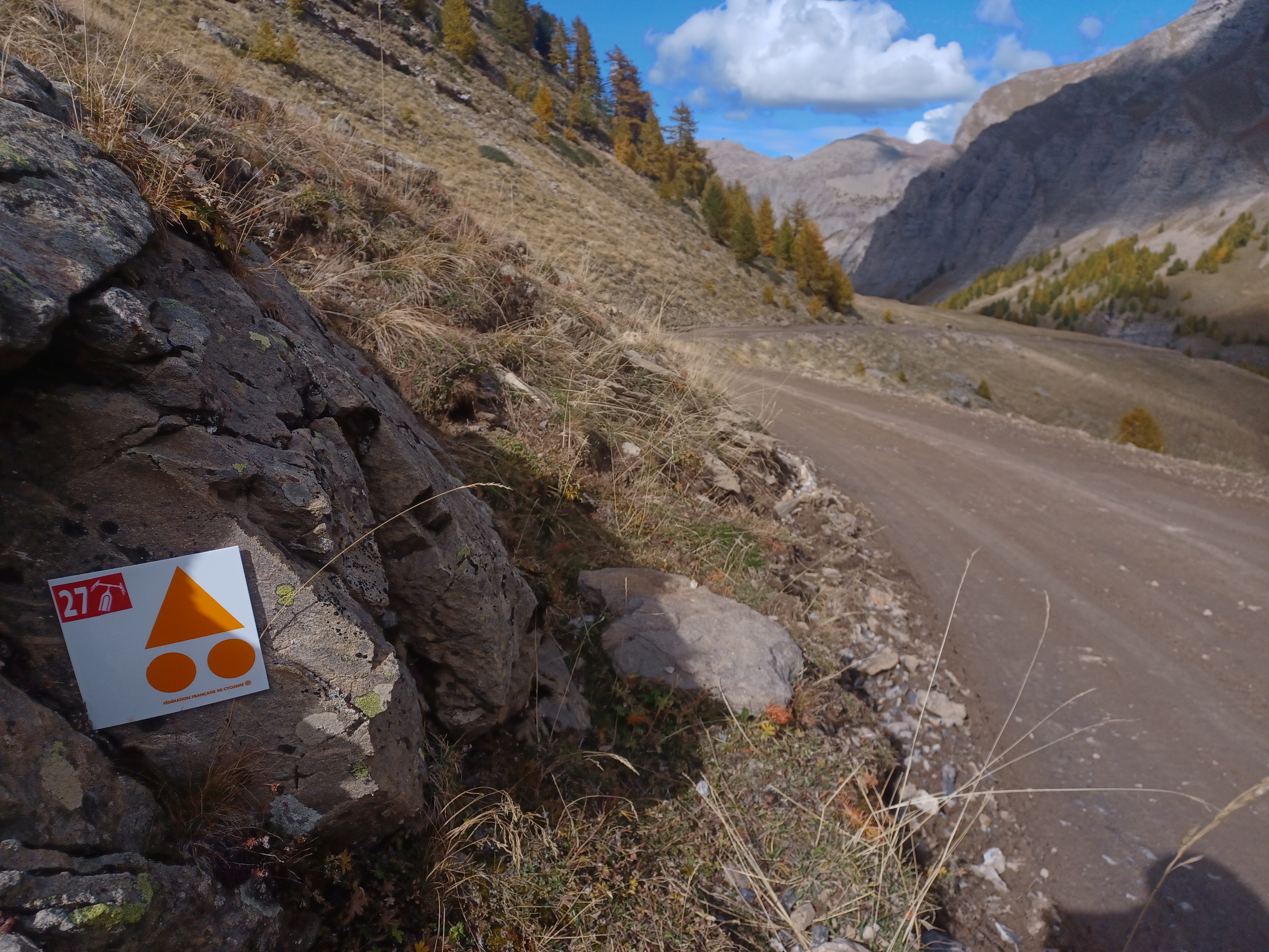
Loop 27 - The Col du Parpaillon
Crévoux
Loop 27 - The Col du Parpaillon
2h15
24,2km
+1368m
-1368m
Round trip
Embed this item to access it offline
Discover an unspoilt, pure and wild mountain where the marmots will announce your arrival. Like many roads at the time, this mountain road was built by the military. It's not unusual to come across road bikes that have lost their way after being misled by the classification as a departmental road!
Description
1) From the village square, take the road leading from the war memorial. At "Champ La font 2", climb the gravel track towards the hamlet of La Chalp. Continue straight ahead on the main road. At Travers du Moulin go straight up the track.
2) At the bend go straight on (stony climb). At the bend in the road (D39T), turn right. At the picnic area, continue straight ahead.
3) At the Parpaillon tunnel, go through the tunnel (you will need lights) and turn around to go back down to Crévoux. Follow the route taken on the outward journey back to the village of Crévoux.
- Departure : Crévoux
- Arrival : Crévoux
- Towns crossed : Crévoux
Forecast
Altimetric profile
Recommandations
Avant de partir vérifiez l’état de votre vélo, surveillez la météo et équipez vous selon la saison et la durée de votre randonnée.
Vous évoluez en zone de montagne, privilégiez des pneus de Gravel large, des freins à disque hydraulique et maitrisez votre vitesse.
Prudence dans la descente du Hameau de Vière et pour rejoindre la vallée de la Durance.
Pour plus de confort faites appel à un moniteur de cyclisme
Secours : 112
Vous évoluez en zone de montagne, privilégiez des pneus de Gravel large, des freins à disque hydraulique et maitrisez votre vitesse.
Prudence dans la descente du Hameau de Vière et pour rejoindre la vallée de la Durance.
Pour plus de confort faites appel à un moniteur de cyclisme
Secours : 112
Transport
SNCF: Chorges station, Embrun https://www.sncf-connect.com/
Bus: Valserres, La Bâtie Neuve, Chorges, Puy Saint Eusèbe, Puy Sanières, Embrun Baratier, Les Orres, Remollon, Theus, Espinasse
Marseille-Briançon : (LER29)
Marseille, Nice : Lignes Express Régionales (LER) +33 (0)809 400 415
Grenoble : Transisère +33 (0)4 26 16 38 38
Gap-Barcelonnette (LER535)
Carpooling area : Rond point des Orres ‒ 05200 Baratier
Plane :
Marseille Provence Airport (188km) - +33 (0)820 811 414
Grenoble Alpes Isère Airport (158km) - +33 (0)4 76 65 48 48
Lyon Saint Exupéry Airport - (203km) +33 (0)826 800 826
Turin Caselle Airport - (178km) + 39 011 567 63 60
Access and parking
From Grenoble, Lyon, Paris : RN 85 or RN 75. At Gap, take the RN 94 towards Briançon.
From Marseille, Montpellier A51 to La Saulce, continue towards Tallard (D942) and Briançon (RN 94).
From Marseille, Montpellier A51 to La Saulce, continue towards Tallard (D942) and Briançon (RN 94).
Parking :
Village Square, Crevoux
Source

Serre-Ponçonhttps://www.serreponcon.com
Report a problem or an error
If you have found an error on this page or if you have noticed any problems during your hike, please report them to us here: