Les Eyssuches (no. 18)
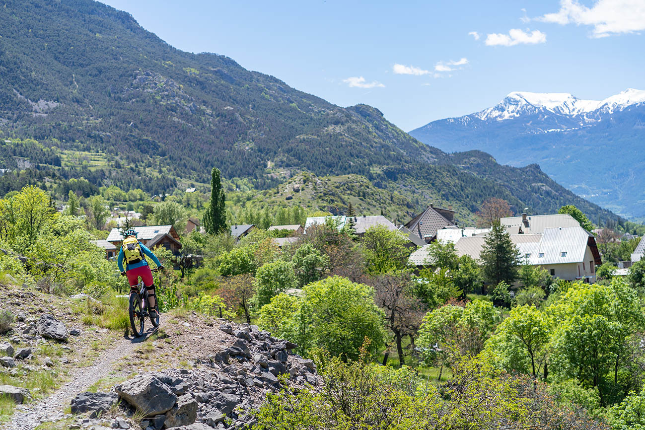
This circuit runs above the town of L'Argentière-la-Bessée. Stunning views of its industrial past (Pechiney factory), its exploitation of water (the hydroelectric power station) and the iconic ridge, the Crête de la Rortie. Then, a stretch running close to the Canyon de l'Ascension via La Roche-de-Rame and back along the right-hand bank of the Durance.
Description
The circuit starts right in the centre of town, not far from the bridge spanning the Durance. In fact, you need to cross this bridge to get to the main road
- When you reach the main road, go straight across and up to the cemetery. Skirt around the cemetery on the north side, following a forest track
- Where the tracks intersect, continue due south on the forest track
- At the next intersection, go past the tank on your left and continue downhill on the track, heading due south
- Leave the track, turning left onto a narrow path which runs through the forest and drops down to La Roche-de-Rame
- After the chapel of Saint Roch de Géro, cross the mountain stream and take the narrow road on your right
- Upstream from the main road, turn left into the bridge underpass
- Carry on due south past the old waste collection site
- At the bridge (Pont de Traverses), rejoin the road on the right-hand bank of the Durance and this brings you back to Plan Léothaud
- Go right under the railway line and then left towards the leisure centre ("Base de loisirs")
- You then rejoin the green route ("Voie Verte") and this brings you back to the starting point of the circuit
- Departure : Place du kiosque, L’Argentière-la-Bessée
- Arrival : Place du kiosque, L’Argentière-la-Bessée
- Towns crossed : L'Argentière-la-Bessée, La Roche-de-Rame, Freissinières, and Champcella
Forecast
Altimetric profile
Sensitive areas
Short-toed snake eagle
- Impacted practices:
- Aerial,
- Sensitivity periods:
- MarAprMayJunJulAugSep
- Contact:
- Parc National des Écrins
Julien Charron
julien.charron@ecrins-parcnational.fr
Short-toed snake eagle
- Impacted practices:
- Aerial,
- Sensitivity periods:
- MarAprMayJunJulAugSep
- Contact:
- Parc National des Écrins
Julien Charron
julien.charron@ecrins-parcnational.fr
Short-toed snake eagle
- Impacted practices:
- Aerial,
- Sensitivity periods:
- MarAprMayJunJulAugSep
- Contact:
- Parc National des Écrins
Julien Charron
julien.charron@ecrins-parcnational.fr
Short-toed snake eagle
- Impacted practices:
- Aerial,
- Sensitivity periods:
- MarAprMayJunJulAugSep
- Contact:
- Parc National des Écrins
Julien Charron
julien.charron@ecrins-parcnational.fr
Recommandations
>Rescue services contact details: Secours Montagne (Mountain Rescue): +33 (0)4 92 22 22 22 or 112
Take your litter home
Do not take shortcuts across pastureland
Transport
Public transports >> www.pacamobilite.fr
Consider car-sharing >> www.blablacar.fr
For more information, ask at the Tourist Information Office nearest to the trail starting point >> www.paysdesecrins.com
Access and parking
16 km from Briançon, take the N94.
Parking :
Source

Report a problem or an error
If you have found an error on this page or if you have noticed any problems during your hike, please report them to us here: