Le Lauzet (no. 11)
La Roche-de-Rame
Le Lauzet (no. 11)
3h
20,6km
+1504m
-1504m
Loop
Embed this item to access it offline
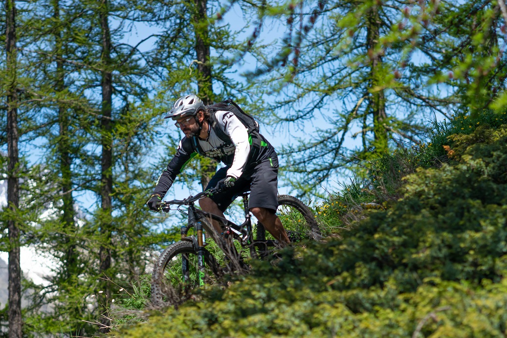
Running through the municipality of La Roche-de-Rame, this pleasant trail leads through meadows and forests. The ascent is relatively straightforward and offers a panoramic view over the massif of Les Écrins and Mont Pelvoux, while the descent which hugs the Bouchouse mountain stream is much more technical.
Description
The circuit starts not far from the La Roche-de-Rame mayor's office ("Mairie") near the Bouchouse mountain stream. First, follow its left-hand bank, going upstream. 430 metres further up, cross the mountain stream and carry on along the right-hand bank. At the crossroads, turn right to cross the mountain stream again and carry on uphill towards Bel Pinet.
- Turn left towards Le Lauzet, winding uphill along a stony track
- When you come to Bel Pinet, at 1,400 m, head along the track on the right leading to Le Gorgoras, Le Clot du Villaron and Le Lauzet, passing near the pink marble quarry ("Carrière du Marbre Rose"), a marble used in the construction of numerous buildings such as Gap Cathedral
- When you reach Le Lauzet, at 1,786 m, head left near the small lake to descend towards Bel Pinet via a different route
- Turn right onto a path to avoid the wide, twisting stony track, and follow this, crossing the track (Be sure to follow the waysigns and exercise caution: it is very stony terrain which makes some sections dangerous and technical)
- At the end of the path, head left onto the wide track and, after 300 metres, turn right to join a new path. This, too, is very technical. Continue to follow this path downhill, avoiding the wide track, until you come to the paved road at the Bouchouse hydroelectric power station and then on to your starting point
- Departure : La Roche-de-Rame mayor's office ("Mairie")
- Arrival : La Roche-de-Rame mayor's office ("Mairie")
- Towns crossed : La Roche-de-Rame
Forecast
Altimetric profile
Recommandations
Rescue services contact details: Secours Montagne (Mountain Rescue): +33 (0)4 92 22 22 22 or 112
Take your litter home
Do not take shortcuts across pasturelandTransport
Public transport >> www.pacamobilite.fr
Consider car-sharing >> www.blablacar.fr
Access and parking
6.7 km from L'Argentière-La Bessée, take the N94.
Parking :
mayor's office ("Mairie") car park, La Roche-de-Rame
Source

Pays des Ecrinshttps://www.paysdesecrins.com
Report a problem or an error
If you have found an error on this page or if you have noticed any problems during your hike, please report them to us here: