Col d’Anon – Col des Lauzes (no. 7)
Dark spruce forest, light-filled larch forest with grazing sheep, clearings. Running primarily on the north-facing slopes of the Fournel valley, this route takes you to the heights above the Freissinières valley just long enough to be amazed by the panoramic view!
Description
The route starts from the outset along a forest track.
- After the first bend, take the track on the left which leads towards the Col d'Anon, rising through woods and clearings
- At 1,750 metres altitude, just before the sheepfold of Les Lauzes ("Bergerie des Lauzes"), head left onto the track leading off along the hillside and coming out at the Col des Lauzes. Here you see the Freissinières valley. Carry on along the track which offers fine views over the valley
- At the pastoral cabin of Les Balmettes, turn off onto the track on the right leading towards the Col d'Anon
- Below this, turn left onto the path running almost along the hillside to Crouzet. Here, go downhill towards the recently-renovated chalet and continue downhill on a steep path
- Head left to take another path which rises uphill and becomes increasingly grassy
- Turn right down a path running downhill, which then zigzags
- Lower down, you come to a track which leads smoothly back to your starting point.
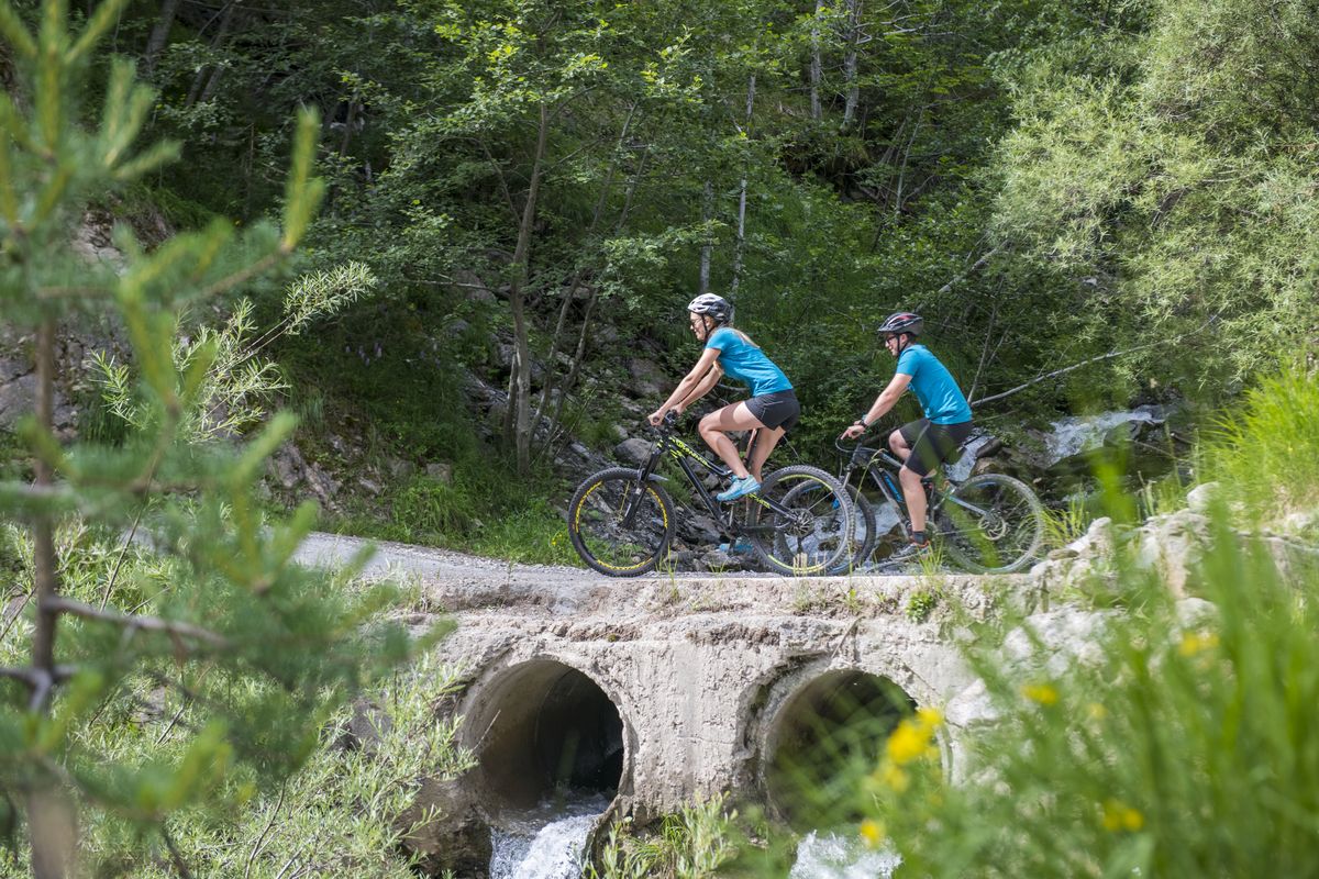
- Departure : After a bridge, the Pont du Sapey, the route leads towards the Col d'Anon, L’Argentière-La Bessée
- Arrival : After a bridge, the Pont du Sapey, the route leads towards the Col d'Anon, L’Argentière-La Bessée
- Towns crossed : L'Argentière-la-Bessée and Freissinières
Forecast
Altimetric profile
Sensitive areas
Black grouse - winter
- Impacted practices:
- , Land
- Sensitivity periods:
- JanFebMarAprDec
- Contact:
- Parc National des Ecrins
Thierry Maillet : thierry.maillet@ecrins-parcnational.fr
Membre de l'Observatoire des Galliformes de montagne
Virginie Dos Santos : ogm.vds@gmail.com
Blandine Amblard : ogm.amblard@gmail.com
Short-toed snake eagle
- Impacted practices:
- Aerial,
- Sensitivity periods:
- MarAprMayJunJulAugSep
- Contact:
- Parc National des Écrins
Julien Charron
julien.charron@ecrins-parcnational.fr
Black grouse - winter
- Impacted practices:
- , Land
- Sensitivity periods:
- JanFebMarAprDec
- Contact:
Black grouse - winter
- Impacted practices:
- , Land
- Sensitivity periods:
- JanFebMarAprDec
- Contact:
Recommandations
Rescue services contact details: Secours Montagne(Mountain Rescue): +33 (0)4 92 22 22 22 or 112
Show consideration for the work of farmers, livestock keepers and owners
Take your litter home
Do not take shortcuts across pastureland
Transport
Nearest SNCF train station: L'Argentière-les-Ecrins (www.voyages-sncf.com)
L'Argentière-les-Ecrins / La Salce: taxi (Taxi Pellegrin +33 (0)6 98 88 17 78 / Taxi Billau +33 (0)6 08 03 45 90)
For more information, ask at the Tourist Information Office nearest to the trail starting point >> www.paysdesecrins.com
Access and parking
In L'Argentière-La-Bessée, follow signs for the Fournel valley ("Vallon du Fournel") and the silver mines ("Mines d'Argent"), from the Le Wagonnet roundabout. The route runs uphill above the village along the D432 towards the Pont du Sapey, at 1,320 metres.
Parking :
Source

Report a problem or an error
If you have found an error on this page or if you have noticed any problems during your hike, please report them to us here: