Le Grand Parcher circuit (no. 6)
Les Vigneaux
Le Grand Parcher circuit (no. 6)
2h
8km
+425m
-428m
Loop
Embed this item to access it offline
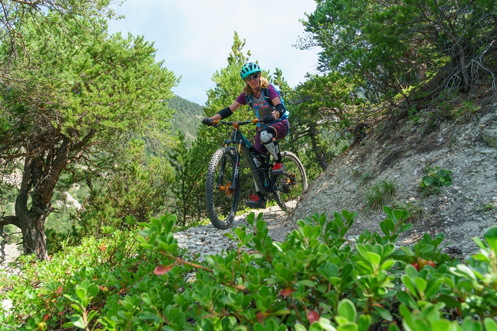
This circuit in the municipality of Les Vigneaux follows the Gyronde, on the north-facing side, bringing you to Le Grand Parcher with its traditional houses and the village of Les Vigneaux, on the south-facing side, standing on an alluvial cone.
Description
The circuit starts near the car park on the right-hand bank of the Gyronde, on a narrow track that follows the river upstream, below the road leading to a campsite, the Camping des Vaudois
- After going through the campsite, take the track on the left leading towards Le Chambon. This virtually straight path passes through a number of meadows
- Cross a bridge (the Pont Haut) and join the local road. After 200 metres, at the next intersection turn right towards Le Petit Parcher
- At the crossroads, turn right towards Le Grand Parcher
- In Le Grand Parcher, take the road rising uphill to the left. A few metres beyond the Chapelle Saint-André, take a narrow path on the right leading towards the Rocher Blanc
- As you ascend, head right on a single track until you come to the Rif Cros mountain stream
- Cross the mountain stream and carry on to the centre of Les Vigneaux. When you come to the local road and the Pont du Rif you have reached your starting point
- Departure : Pont du Rif (right-hand bank of the Gyronde), Les Vigneaux
- Arrival : Pont du Rif (right-hand bank of the Gyronde), Les Vigneaux
- Towns crossed : Les Vigneaux and Vallouise-Pelvoux
Forecast
Altimetric profile
Sensitive areas
Along your trek, you will go through sensitive areas related to the presence of a specific species or environment. In these areas, an appropriate behaviour allows to contribute to their preservation. For detailed information, specific forms are accessible for each area.
Short-toed snake eagle
- Impacted practices:
- Aerial,
- Sensitivity periods:
- MarAprMayJunJulAugSep
- Contact:
- Parc National des Écrins
Julien Charron
julien.charron@ecrins-parcnational.fr
Short-toed snake eagle
- Impacted practices:
- Aerial,
- Sensitivity periods:
- MarAprMayJunJulAugSep
- Contact:
- Parc National des Écrins
Julien Charron
julien.charron@ecrins-parcnational.fr
Recommandations
Rescue services contact details: Secours Montagne(Mountain Rescue): +33 (0)4 92 22 22 22 or 112
Take your litter home
Do not take shortcuts across pasturelandTransport
Public transport >> www.pacamobilite.fr
Consider car-sharing >> www.blablacar.fr
Access and parking
4.7 km from L'Argentière-La Bessée, take the D994E.
Parking :
Car park close to the Pont du Rif (right-hand bank of the Gyronde), Les Vigneaux
Source

Pays des Ecrinshttps://www.paysdesecrins.com
Report a problem or an error
If you have found an error on this page or if you have noticed any problems during your hike, please report them to us here: