The Saint Sauveur loop
Embrun
The Saint Sauveur loop
2h
16,5km
+589m
-589m
Loop
Embed this item to access it offline
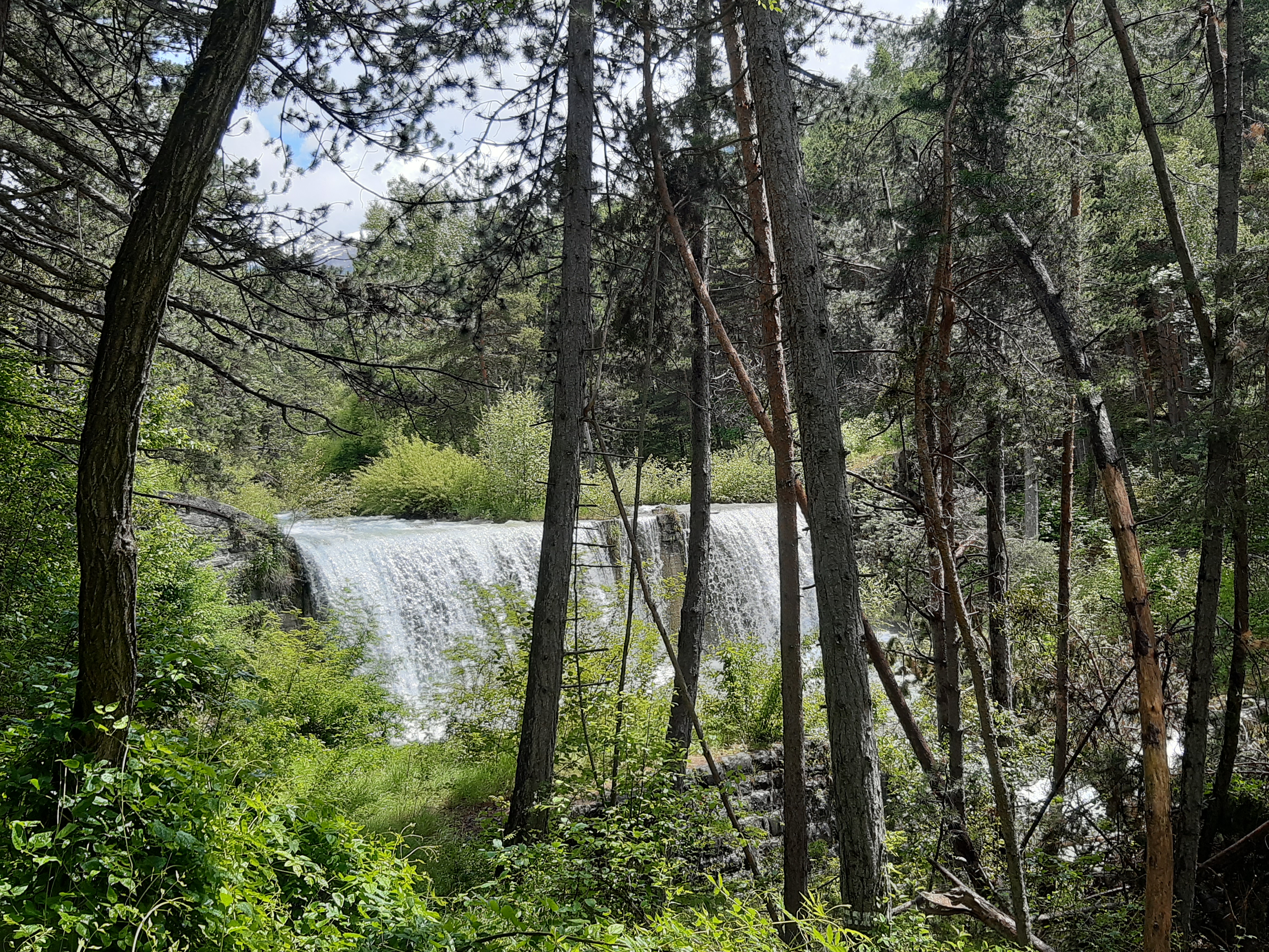
While the lakeside setting initially invites you to stroll and daydream, things soon get tougher as you climb along the tumultuous Vachères stream. Finally, you will need all your concentration on the narrow, pleasant descent that winds its way through the forest of Saint Sauveur.
Description
- Join the path laid out on the banks of the Durance from the beach car park, passing in front of the chalet. Head up the Durance and under the road bridge. Then take the footbridge on the right to cross the Durance and turn right again immediately after the footbridge to take a well-developed path alongside the Durance. Take the left-hand track at the next junction 200m further on. Cross a small car park and take the path opposite. Make sure you don’t miss it, as it can be a little overgrown. Follow the path as far as the dam.
- Take a left at this level. Cross the dual carriageway and take the track opposite. The occasionally heavy traffic requires the utmost vigilance. Go straight on at the sign for the canal, level with a horse farm. Continue along the canal then turn left at the bridge. The path rises to a small road where you need to go straight on. Continue straight on at the crossroads 150m further on. Turn right at the next junction onto a steep road. Follow the road through a housing estate. After a few hundred metres, turn right at the junction with another road. Turn left at Les Clots onto a small road between fields, then right onto a path through the pines. This narrow path winds its way through dense vegetation to a road.
- Then turn left and then right 75 m further down. Continue along the road. At a sharp bend, turn left to pick up a track. Cross the stream and turn left onto a path that rises sharply. Turn right after a narrow, steep path along the stream. Take the wooden bridge as you return to a wider path. Turn left 150m after the bridge, staying on a wide stony path.
- Return to the departmental road. Go downhill to the left and after 150m, turn right towards Saint Sauveur. Follow the road up to the church of Saint Sauveur.
- A narrow path leaves from the end of the church car park and joins the road. Descend the road for 200 m and take a wide path on the left. Go straight ahead at the first junction, then right through the pines and right again on a narrower path 30 m further on. Head right after returning to a wider path, then left. Veer left again onto a single track in the pine forest. Follow the track through the forest. After a long section of single track, turn left onto a wider path on a flat area. Cross the river and turn right just after onto a single track. Continue straight ahead on a wider path. The path ends at a road. Then turn right.
- When you reach the departmental road turn left and continue along it. Arrive at the road to Les Orres, descend towards Embrun. At the roundabout, take the first exit and continue straight ahead. Then cross the cattle drive to reach the Entraigues shopping area. At the roundabout, go straight on towards the Durance to rejoin the path you took on the outward journey.
- Departure : Lake Embrun
- Arrival : Lake Embrun
- Towns crossed : Embrun, Baratier, Crots, and Saint-Sauveur
Forecast
Altimetric profile
Transport
Transports en commun : ccserreponcon.com
Access and parking
Follow the N94 from Gap or Briançon, then head towards Embrun lake at the foot of the town.
Parking :
Beach car park, Embrun
Source

Serre-Ponçonhttps://www.serreponcon.com
Report a problem or an error
If you have found an error on this page or if you have noticed any problems during your hike, please report them to us here: