Le Fort
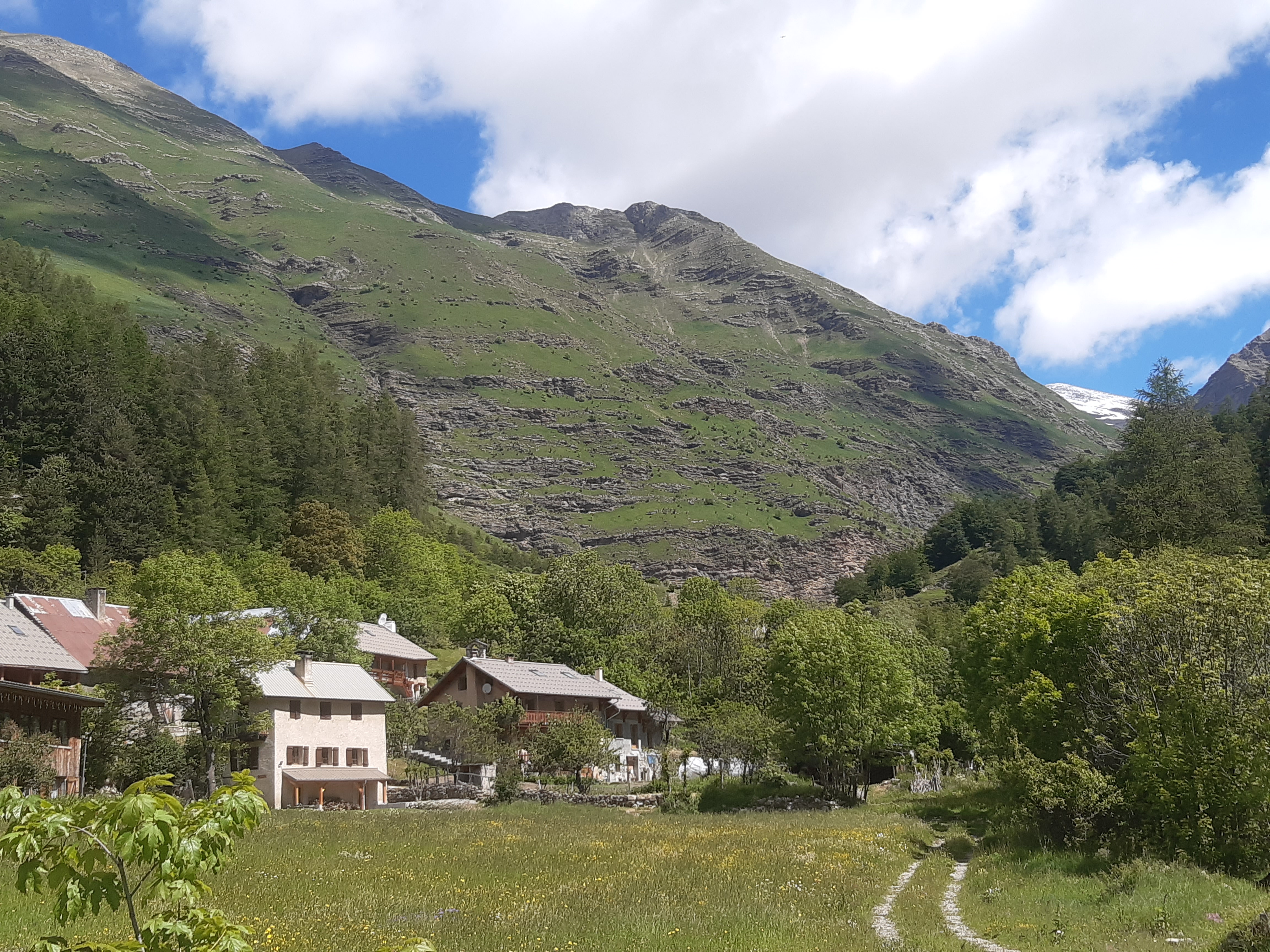
Réallon
Le Fort
1h30
9,3km
+525m
-525m
Loop
Embed this item to access it offline
Explore the Réallon valley, a wild and unspoilt verdant setting where you can still see a few traces of ancient occupation, such as the ruins of the fort of Réallon and the old village.
Description
- Start at the bridge over the Réallon stream then descend the road taken on the outward stretch. Then take a small path on the left, about 200m further on. Cross the fields and turn right at the intersection with a wide track. Cross the stream of la Sauche then turn left. Follow a small path on the mountainside.
- Descend to the right shortly before the fort of Réallon. Turn right after a stony and slightly technical descent. Reach a car park at Reallon and then cross the road. Join the departmental road.
- Turn left and then immediately right onto a small road that descends and continues along a footpath. Cross the bridge and continue left on the same path after a steep climb with two crossings over the stream.
- Turn right onto a wide path. Cross the stream again, then travel alongside it. Turn right when the path seems to split in two, continuing up the stream.
- Then follow the road closest to the river towards the camp-site, then turn left just before the car park. Turn right just before crossing the river to get back to the starting point
- Departure : Les Gourniers, Réallon
- Arrival : Les Gourniers, Réallon
- Towns crossed : Réallon
Forecast
Altimetric profile
Transport
Transports en commun : ccserreponcon.com
Access and parking
From Savines-le-Lac, follow the D641 then the D9 before joining the D41, which becomes the D241 at Réallon.
Parking :
Les Gourniers car park
Source

Serre-Ponçonhttps://www.serreponcon.com
Report a problem or an error
If you have found an error on this page or if you have noticed any problems during your hike, please report them to us here: