Le Fein
Chorges
Le Fein
1h45
12,2km
+450m
-450m
Loop
Embed this item to access it offline
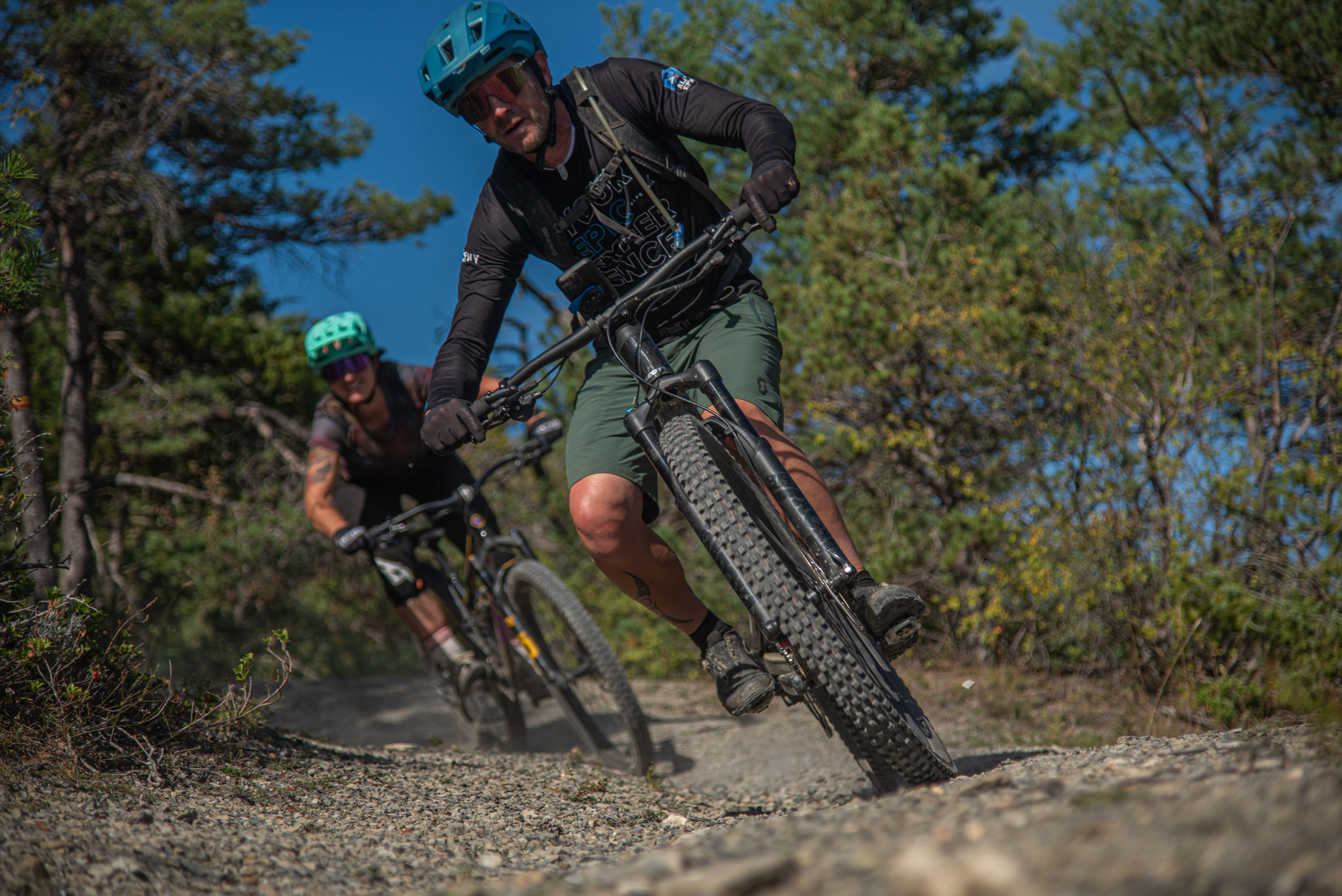
The loop of Le Fein guarantees a fun and enjoyable itinerary for mountain bikers of all abilities, with the aiguilles de Chabrières and the Piolit, which overlook the town of Chorges and the Serre-Ponçon lake, as a backdrop.
Description
- From the SNCF station, head towards Intermarché, then cross the level crossing and continue to the left. Before the level crossing, turn right towards "Le Fein".
- When the path descends again turn left and continue on the wide path.
- At "Clot Minet" turn right towards "Fein", continue on the widest path uphill. Once you reach le "Fein" and cross the hamlet.
- Take the road down towards Chorges, then take the single track on the right.
- Take the road on the left. After 500 metres, leave the road and turn right onto a track. At the next intersection, turn left towards Grand Chatêlard.
- Return to the road on the left and take the outward route.
- Departure : Chorges
- Arrival : Chorges
- Towns crossed : Chorges
Forecast
Altimetric profile
Recommandations
Après le hameaux du Fein le single track est emprunté dans les deux sens.
Transport
Public transport : ccserreponcon.com
Access and parking
Follow the N94 from Gap or Embrun to Chorges.
Parking :
Station car park, Chorges.
Source

Serre-Ponçonhttps://www.serreponcon.com
Report a problem or an error
If you have found an error on this page or if you have noticed any problems during your hike, please report them to us here: