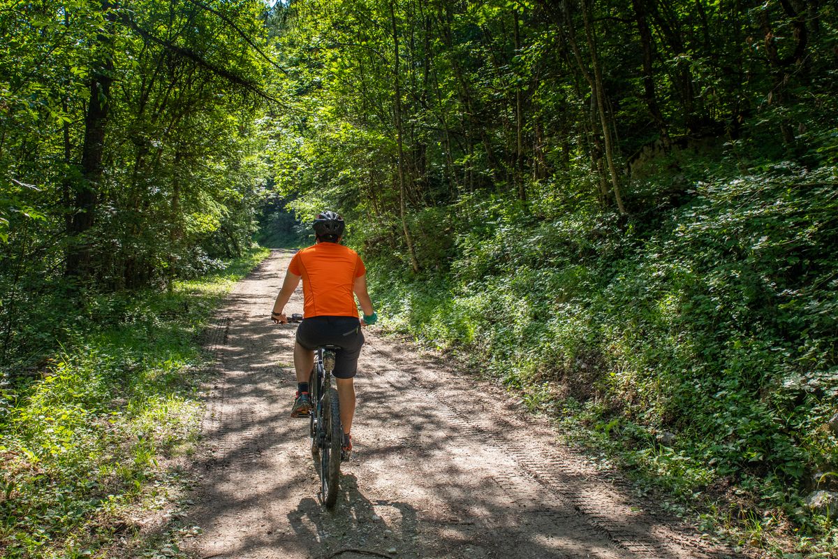
The Grande Traversée des Hautes-Alpes (GTHA) in the Pays des Écrins
The GTHA is the highest medium-altitude mountain bike route in France. It starts in La Grave-Villar d'Arène and ends in Laragne-Montéglin, thus taking you through 50 kilometres of the territory of the Pays des Écrins. Along the way you will get to know the territory and its communities through its remarkable landscapes and heritage. So, all you need to do is jump on your bike and set off on the adventure.
For more information on the GTHA itinerary, visit the Département des Hautes-Alpes website .
Forecast
Altimetric profile
Sensitive areas
- Impacted practices:
- Land, Vertical
- Sensitivity periods:
- JanFebMarAprMayJunJulAugSepOctNovDec
- Contact:
LPO PACA antenne de Briançon
0492219417
hautes-alpes@lpo.fr
Peregrine falcon
- Impacted practices:
- Aerial, Vertical
- Sensitivity periods:
- FebMarAprMayJun
- Contact:
- Parc National des Écrins
Julien Charron
julien.charron@ecrins-parcnational.fr
Short-toed snake eagle
- Impacted practices:
- Aerial,
- Sensitivity periods:
- MarAprMayJunJulAugSep
- Contact:
- Parc National des Écrins
Julien Charron
julien.charron@ecrins-parcnational.fr
Short-toed snake eagle
- Impacted practices:
- Aerial,
- Sensitivity periods:
- MarAprMayJunJulAugSep
- Contact:
- Parc National des Écrins
Julien Charron
julien.charron@ecrins-parcnational.fr
Recommandations
Rescue services contact details: Secours Montagne (Mountain Rescue): +33 (0)4 92 22 22 22 or 112
Show consideration for the work of farmers, livestock keepers and owners
Close all gates behind you
Take your litter home
Do not take shortcuts across pasturelandTransport
Public transport >> www.pacamobilite.fr
Consider car-sharing >> www.blablacar.fr
Source

Report a problem or an error
If you have found an error on this page or if you have noticed any problems during your hike, please report them to us here: