Loop 57 - Le Méale
Crévoux
Loop 57 - Le Méale
1h15
14,7km
+693m
-724m
Loop
Embed this item to access it offline
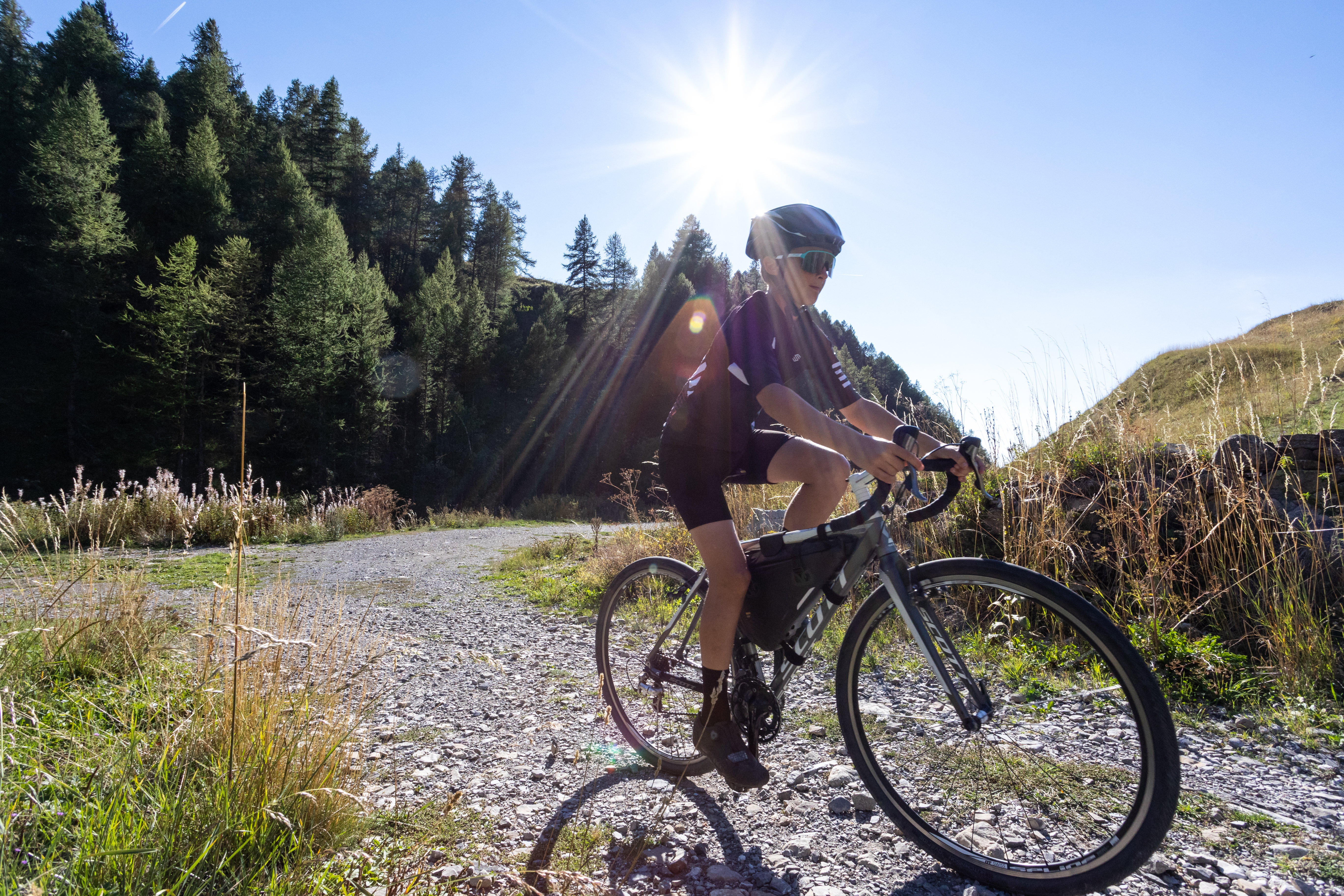
Departing from this family-friendly resort, the Méale is a mountainous loop through woodland and clearings where herds of cows have replaced skiers.
You can take the red route no. 58 "Crévoux” if you want to extend the route.
You can take the red route no. 58 "Crévoux” if you want to extend the route.
Description
- From the village square, head up the street that starts at the war memorial. At "Champ La font 2", take the stony track opposite towards the hamlet of La Chalp. Continue straight ahead on the main path until you reach the road.
- At the bend, ascend the road on the right to the picnic area (Cabane des Espagnols)
- At the picnic area, turn right twice onto the uphill path (there is a spring if you stay on the road after the Réal bridge on the right). Stay on the main track (Route forestière de Bouche Clauze),
- At the bend of a track, descend to the right.
- At the track, descend to the right towards Crévoux, about 3.5 km. Continue straight down the main track.
- /!\Slow down and take the barely visible path on the right towards the county town. At the end of the path, join the road and Crévoux on the right.
- Departure : Crévoux
- Arrival : Crévoux
- Towns crossed : Crévoux
Forecast
Altimetric profile
Recommandations
Avant de partir vérifiez l’état de votre vélo, surveillez la météo et équipez vous selon la saison et la durée de votre randonnée.
Vous évoluez en zone de montagne, privilégiez des pneus de Gravel large, des freins à disque hydraulique et maitrisez votre vitesse.
Prudence dans la descente du Hameau de Vière et pour rejoindre la vallée de la Durance.
Pour plus de confort faites appel à un moniteur de cyclisme
Secours : 112
Vous évoluez en zone de montagne, privilégiez des pneus de Gravel large, des freins à disque hydraulique et maitrisez votre vitesse.
Prudence dans la descente du Hameau de Vière et pour rejoindre la vallée de la Durance.
Pour plus de confort faites appel à un moniteur de cyclisme
Secours : 112
Transport
SNCF: Chorges station, Embrun https://www.sncf-connect.com/
Bus : Valserres, La Bâtie Neuve, Chorges, Puy Saint Eusèbe, Puy Sanières, Embrun Baratier, Les Orres, Remollon, Theus, Espinasse
Marseille-Briançon : (LER29)
Marseille, Nice : Lignes Express Régionales (LER) +33 (0)809 400 415
Grenoble : Transisère +33 (0)4 26 16 38 38
Gap-Barcelonnette (LER535)
Carpooling area : Rond point des Orres - 05200 Baratier
Plane:
Marseille Provence Airport (188km) - +33 (0)820 811 414
Grenoble Alpes Isère Airport (158km) - +33 (0)4 76 65 48 48
Lyon Saint Exupéry Airport - (203km) +33 (0)826 800 826
Turin Caselle Airport - (178km) + 39 011 567 63 76
Access and parking
From Grenoble, Lyon, Paris : RN 85 or RN 75. At Gap, take the RN 94 towards Briançon.
From Marseille, Montpellier A51 to La Saulce, continue towards Tallard (D942) and Briançon (RN 94).
From Marseille, Montpellier A51 to La Saulce, continue towards Tallard (D942) and Briançon (RN 94).
Parking :
Place du village, Crévoux
Source

Serre-Ponçonhttps://www.serreponcon.com
Report a problem or an error
If you have found an error on this page or if you have noticed any problems during your hike, please report them to us here: