Loop 53 - Les Fontainiers
Châteauroux-les-Alpes
Loop 53 - Les Fontainiers
2h15
25,1km
+1242m
-1243m
Loop
Embed this item to access it offline
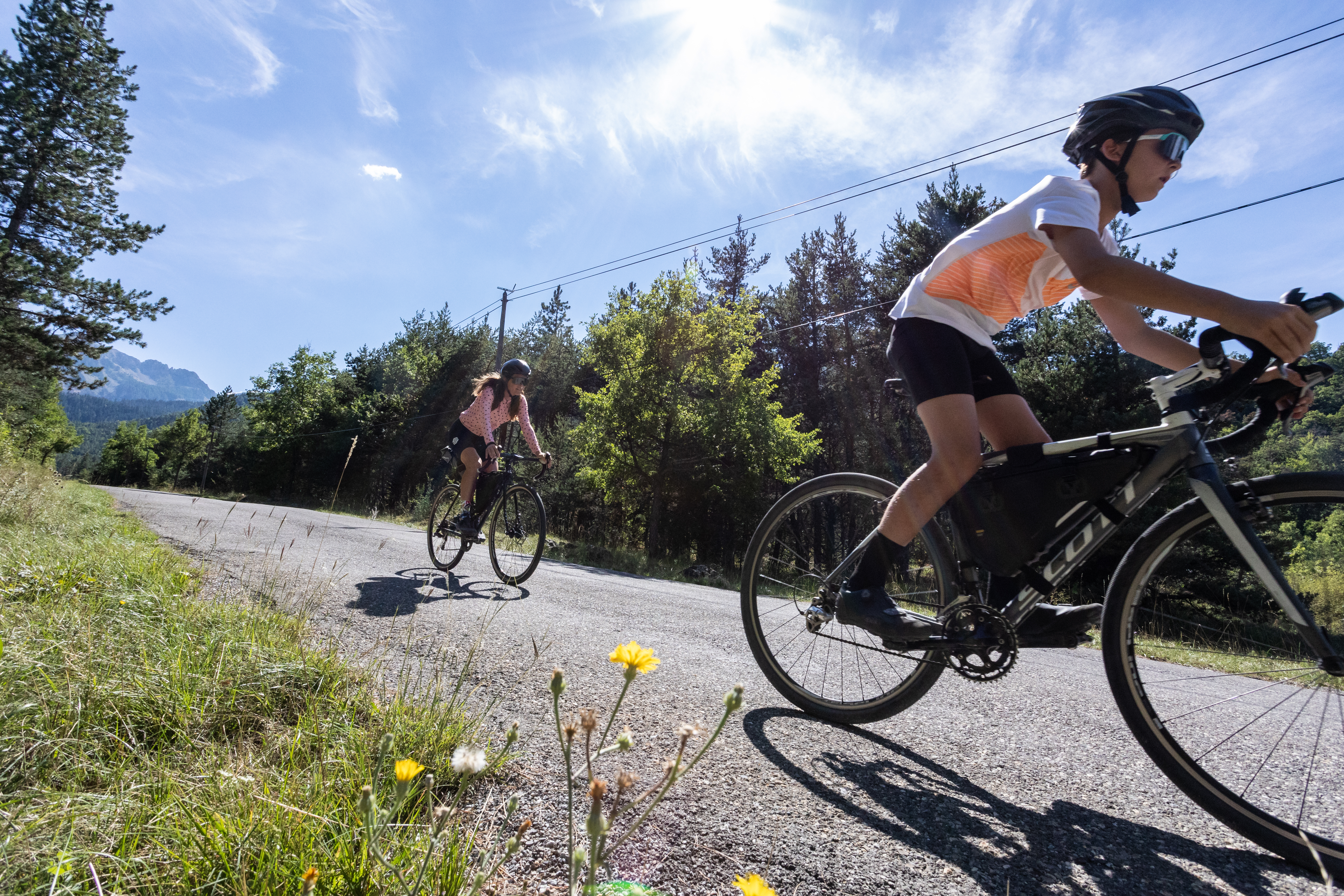
Springs, fountains, canals.... are abundant on this loop and bear witness to a past when there was no tap at home. The Fontainier was responsible for maintaining these structures for the benefit of the villagers. This Gravel loop is the short version of the Balcons du Mont Guillaume from Châteauroux les Alpes.
Description
- Just after Châteauroux-les-Alpes town hall, turn left up rue sainte-Irénée (D663). At the cemetery, skirt it to the right, past Les Pins camp-site and continue along the main road. Go straight on at Chapelle Saint-Roch. At Les Rozans, climb the steep slope to the right, then take the less steep road to the left.
- At the Gérards intersection, turn right towards Route de la Serbie (DFCI G83).
- Once you reach the hairpin, turn left into the undergrowth to follow the official Tour de Serre-Ponçon Gravel route. Take two left turns down the less steep options. Then turn right at the edge of the wood onto the path on the right, which is carpeted with pine needles. /!\ Several short sections with roots and stones.
- After the houses, continue to the right on the less visible flat track. Above Les Barthelons, descend to the left, then take the first right onto the road. After the hamlet, turn left towards the centre of Embrun.
- At the bend (D465) then at the Caléyère washhouse, ascend the road to the right. Then stay on the main uphill track.
- At the road (marked GR) turn right then left towards Mont Guillaume forest 5km. Then turn right up the track towards the electricity pylon (you can stay on the road for a gentler slope) and turn right again.
- At the Porte de la Forêt car park, take the route forestière des Fontainiers opposite. At the Route forestière du Bosquet, keep right (DFCI track G82).
- Before the steep climb, take the path on the right towards Châteauroux 9 km. /!\ The descent is quite steep. Join the track under the larches and descend to the right. Stay on the main road until you reach the hairpin, then /!\ watch your speed.
- At the hairpin, return to Châteauroux along the same road on the left.
- Departure : Châteauroux les Alpes
- Arrival : Châteauroux les Alpes
- Towns crossed : Châteauroux-les-Alpes and Embrun
Forecast
Altimetric profile
Sensitive areas
Along your trek, you will go through sensitive areas related to the presence of a specific species or environment. In these areas, an appropriate behaviour allows to contribute to their preservation. For detailed information, specific forms are accessible for each area.
Short-toed snake eagle
- Impacted practices:
- Aerial,
- Sensitivity periods:
- MarAprMayJunJulAugSep
- Contact:
- Parc National des Écrins
Julien Charron
julien.charron@ecrins-parcnational.fr
Recommandations
Avant de partir vérifiez l’état de votre vélo, surveillez la météo et équipez vous selon la saison et la durée de votre randonnée.
Vous évoluez en zone de montagne, privilégiez des pneus de Gravel large, des freins à disque hydraulique et maitrisez votre vitesse.
Prudence dans la descente du Hameau de Vière et pour rejoindre la vallée de la Durance.
Pour plus de confort faites appel à un moniteur de cyclisme
Secours : 112
Vous évoluez en zone de montagne, privilégiez des pneus de Gravel large, des freins à disque hydraulique et maitrisez votre vitesse.
Prudence dans la descente du Hameau de Vière et pour rejoindre la vallée de la Durance.
Pour plus de confort faites appel à un moniteur de cyclisme
Secours : 112
Transport
SNCF: Chorges station, Embrun https://www.sncf-connect.com/
Bus : Valserres, La Bâtie Neuve, Chorges, Puy Saint Eusèbe, Puy Sanières, Embrun Baratier, Les Orres, Remollon, Theus, Espinasse
Marseille-Briançon : (LER29)
Marseille, Nice : Lignes Express Régionales (LER) +33 (0)809 400 415
Grenoble : Transisère +33 (0)4 26 16 38 38
Gap-Barcelonnette (LER535)
Carpooling area : Rond point des Orres - 05200 Baratier
Plane:
Marseille Provence Airport (188km) - +33 (0)820 811 414
Grenoble Alpes Isère Airport (158km) - +33 (0)4 76 65 48 48
Lyon Saint Exupéry Airport - (203km) +33 (0)826 800 826
Turin Caselle Airport - (178km) + 39 011 567 63 72
Access and parking
From Grenoble, Lyon, Paris : RN 85 or RN 75. At Gap, take the RN 94 towards Briançon.
From Marseille, Montpellier A51 to La Saulce, continue towards Tallard (D942) and Briançon (RN 94).
From Marseille, Montpellier A51 to La Saulce, continue towards Tallard (D942) and Briançon (RN 94).
Parking :
Parking de la Mairie, Châteauroux le Alpes
Source

Serre-Ponçonhttps://www.serreponcon.com
Report a problem or an error
If you have found an error on this page or if you have noticed any problems during your hike, please report them to us here: