
Throughout the Rougier
Camarès
Throughout the Rougier
4h30
90,7km
+1462m
-1452m
Loop
Embed this item to access it offline
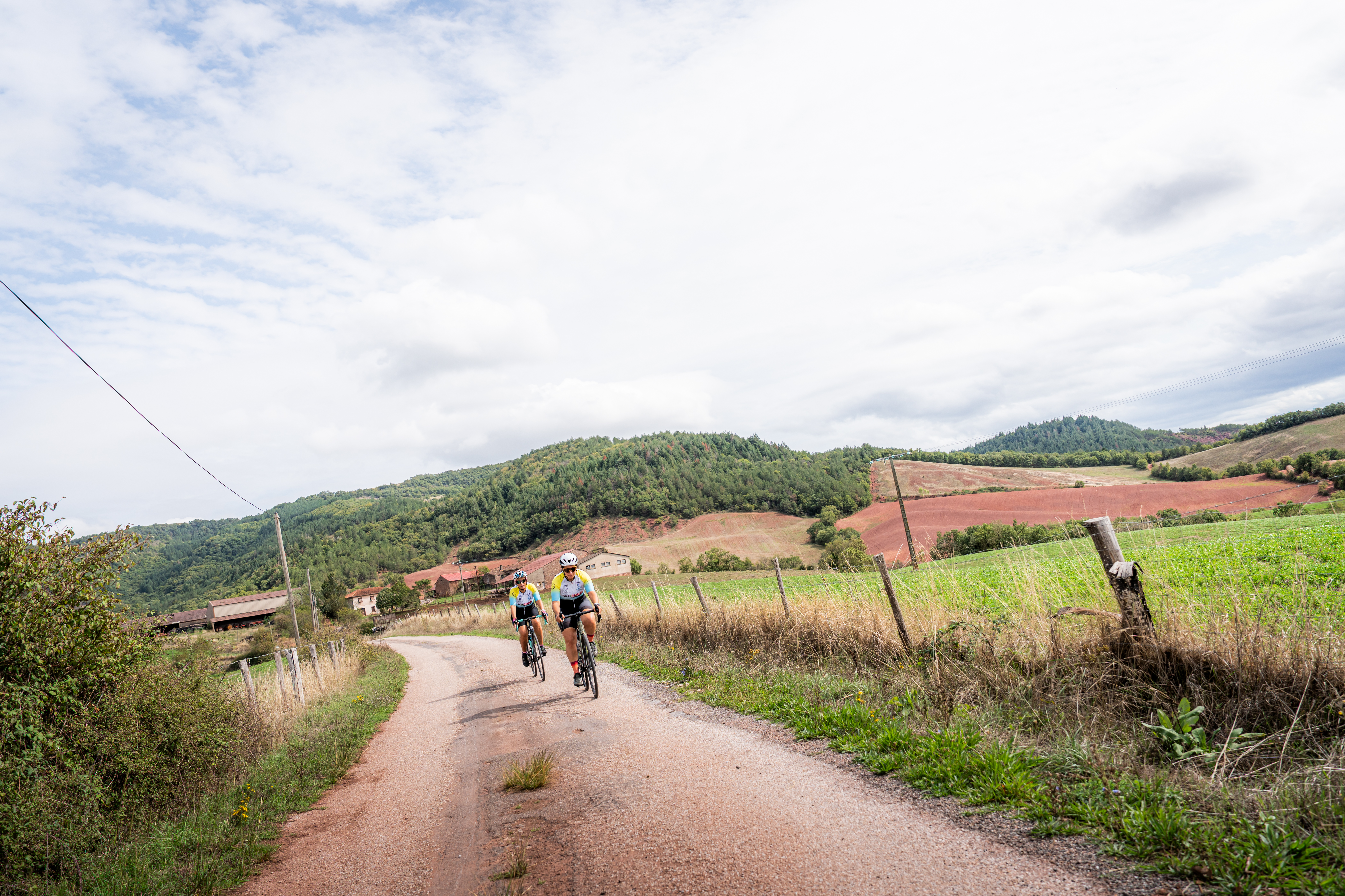
Two options: a 90 km loop which requires more stamina, and a shorter version featuring a 64 km long distance that cuts through the village of Fayet. In any case, be prepared for a formidable immersion in a strange landscape, sometimes barren, sometimes wooded, where an attractive heritage nestles. The daunting ascending slope to the Montaigut castle that heralds the end of the cycling loop requires you to save your energy.
Description
- From the mountain bike service station, follow the RD7 towards the Sorgues Valley, then follow the river to Lapeyre.
- Turn right towards Gissac, then tackle 5 km of steady climbing (6%).
- Once arriving at Gissac, take to the left the direction of Sylvanès.
- At the roundabout, a brief going there and back will allow you to take a look at the Cistercian Abbey. Keep going towards Fayet for the rest of the circuit.
- Turn to the left, then cycle along the stream to Cénômes. Then, ride through the village in the direction of Tauriac, Brusque and finally Camarès. Noteworthy is the possibility to shorten the circuit by passing directly through Fayet.
- Cycle across the bridge to the right and follow the direction of Montlaur.
- Before the bridge, take a right.
- Turn left to Montaigut castle and its dreadful ascent (8.5%), before getting downhill towards Saint-Affrique.
- Departure : Mountain Bike Station, rue du 12 Étoiles, Saint-Affrique
- Arrival : Mountain Bike Station, Rue du 12 Étoiles, Saint-Affrique
- Towns crossed : Camarès, Montlaur, Gissac, Vabres-l'Abbaye, Saint-Affrique, Versols-et-Lapeyre, Sylvanès, Fayet, Montagnol, Tauriac-de-Camarès, Mélagues, and Brusque
Forecast
Altimetric profile
Transport
All the information is available on the Tourist Office website.
Access and parking
Saint-Affrique is situated 31 km southwest of Millau via the D992 and D999 roads.
Parking :
Mountain bike station car park, rue du 12 Étoiles, Saint-Affrique
Accessibility
- Emergency number :
- 114

Report a problem or an error
If you have found an error on this page or if you have noticed any problems during your hike, please report them to us here: